Transforming Surveys with Drone Mapping in Marine and Terrestrial Environments
- CodeFlowSolutions Solutions

- Aug 2
- 4 min read
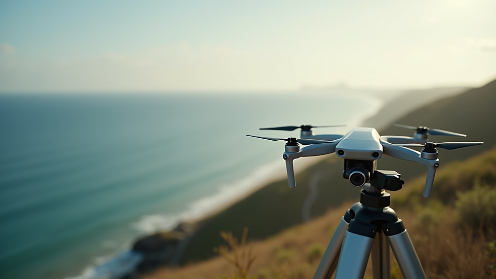
In recent years, drone technology has emerged as a game-changer in surveying, particularly in marine and terrestrial environments. These unmanned aerial vehicles (UAVs) are revolutionizing how we gather data, making it faster, safer, and more accurate than traditional surveying methods. This blog post explores the impactful ways drone mapping reshapes the industry, notably through the innovative solutions provided by companies like W.G.S SARL.
Understanding Drone Surveying
Drone surveying involves using UAVs equipped with advanced imaging and sensing technology to collect aerial data. This method is especially beneficial for surveying large and often hard-to-reach areas, as drones can cover extensive distances quickly. For example, a drone can survey a 100-acre site in just a few hours, a task that may take days or weeks with manual methods. By integrating GPS and imaging technologies such as LiDAR (Light Detection and Ranging) or photogrammetry, drone surveying creates high-resolution maps and detailed 3D models.
The rising use of drones not only speeds up the surveying process but also cuts down costs associated with labor and equipment. According to industry estimates, drone surveys can reduce costs by up to 50% compared to traditional methods. Additionally, drones minimize risks associated with challenging terrains, making them an attractive option for various sectors, including construction, environmental monitoring, and disaster management.
Advantages Over Traditional Surveying Methods
Efficiency: One major benefit of drone mapping is its time-saving ability. Drones can gather extensive datasets that can be processed and analyzed significantly faster than traditional survey techniques.
Cost-Effectiveness: Employing drones reduces operational expenses. For instance, field surveys demand less manpower and fewer pieces of equipment, leading to considerable savings.
Safety: Drones can survey hazardous and difficult-to-reach locations safely. For example, in a recent flood assessment, drones gathered critical data in areas where it would have been dangerous for human surveyors to operate.
Precision: Drones capture high-resolution imagery and accurate data. This level of precision is vital for tasks like terrain modeling, environmental monitoring, and construction planning, which can significantly impact project outcomes.
Versatility: Drones can be equipped with various sensors, making them adaptable for a range of surveying tasks. This flexibility supports applications in both land and sea, proving invaluable for environmental assessments and urban planning.
Real-World Applications: Shoreline Erosion, Facility Planning, Terrain Modeling
Shoreline Erosion Monitoring
Drones are invaluable in monitoring shoreline erosion, providing detailed and timely assessments of coastal areas. For example, they can track changes in shoreline positions over time, illustrating the impacts of climate change and human activities on coastal ecosystems. In a study, using drones reduced the time for shoreline monitoring from weeks to just days, allowing for more rapid response to erosion-related issues.
Facility Planning
In facility planning, drones generate comprehensive site surveys that inform the design and layout of construction projects. With drone surveys, architects and planners gain aerial perspectives of the terrain, allowing for more effective site utilization. A construction firm reported that drone-supported designs led to a 30% reduction in on-site adjustments, streamlining their building process.
Terrain Modeling
Drone mapping plays a crucial role in terrain modeling, producing precise 3D representations of landscapes. This capability benefits industries like agriculture, forestry, and urban planning, assisting them in making informed resource management decisions. For example, a forestry company used drone data to optimize their land use, increasing timber yields by 15% within the first year of implementation.
Innovative Technology Used by W.G.S SARL
W.G.S SARL utilizes cutting-edge technology for drone mapping projects. Their UAVs are fitted with high-resolution cameras and advanced sensors, ensuring precise data collection for various applications. The drones operate with a meticulous flight planning system, resulting in consistent and efficient data gathering.
The software used by W.G.S SARL processes aerial imagery and data, producing detailed 2D maps and 3D models. This integration of technology streamlines the surveying process and significantly enhances the clarity and reliability of the final results.

Client Experiences and Success Stories
W.G.S SARL has successfully delivered numerous projects utilizing drone mapping technology, resulting in satisfied clients and improved outcomes. One environmental agency noted that their shoreline erosion studies became more efficient, enabling detailed monitoring over time. The agency reported a 40% increase in operational efficiency due to the adoption of drone data.
A prominent construction firm remarked that using drone surveys for facility planning transformed their design process. They appreciated the speed and accuracy of drone-generated maps, which enabled early adjustments, ultimately saving them time and money.
These success stories underscore the transformative power of drone technology across various sectors, demonstrating its ability to boost efficiency and outcomes.
Looking Ahead: The Future of Surveying
The rise of drone mapping technology signifies a pivotal change in marine and terrestrial surveying. With benefits like increased efficiency, cost savings, improved safety, and precise data collection, drones are redefining surveying practices. Companies like W.G.S SARL are leading this transformation, leveraging innovative technology to provide superior survey results across multiple applications.
As you consider your next surveying project, think about tapping into the potential of drone technology. Equip your team with powerful tools for enhanced data collection and analysis. Embrace the future of surveying today.


Comments